

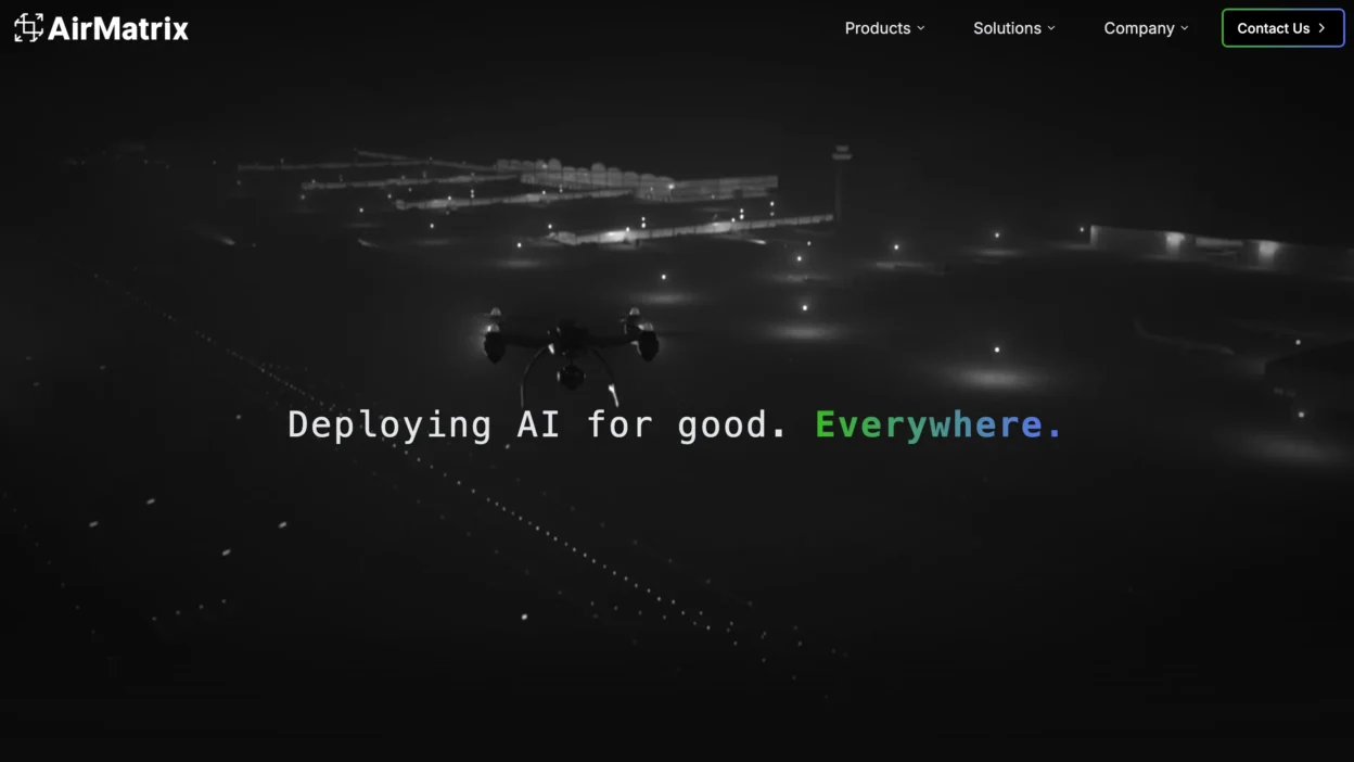
Toronto startup AirMatrix is betting on a future where drones move through cities as predictably as cars on a highway. The company’s technology creates digital flight paths that allow drones to fly safely, stay in designated lanes, and satisfy regulators.
It’s an idea that has already caught the attention of NASA and angel investors who see infrastructure as the missing piece of the drone economy.
The Tech – Millimetres in the Air
AirMatrix doesn’t make drones, it builds the invisible scaffolding that makes large-scale drone use possible. Its software maps out air corridors with extreme accuracy, guiding drones along defined routes instead of leaving them to float loosely on GPS.
This precision matters because it reduces the risk of collisions, keeps drones out of restricted zones, and makes oversight easier for governments trying to balance innovation with safety. By turning the sky into a mapped network, AirMatrix is laying down the groundwork for drones to operate at scale in cities.
Partners in the Sky
AirMatrix isn’t building this vision alone. The startup has drawn NASA into its orbit, working with the American agency on testing and validation. Closer to home, Transport Canada has been a partner in trials that explore how “drone roads” fit within Canadian airspace rules.
The combination of global validation and local regulatory buy-in gives AirMatrix credibility in an industry where safety and compliance often move slower than technology. Early angel investors have also backed the startup, betting that infrastructure will matter as much as the drones themselves.
Why It Matters – No Roads, No Drones
Drones are already capable of flying packages, inspecting infrastructure, and supporting emergency response. But scaling those services inside crowded cities is risky without defined pathways. AirMatrix is solving that missing layer.
Its mapped corridors give regulators confidence, make drone operations safer, and open the door to broader commercial use. Without that kind of structure, the promise of urban drone services stalls. With it, cities can begin to treat drones as part of their everyday transportation systems.
Toronto as Launchpad
AirMatrix is testing its system in Toronto, a city that offers the right mix of density, complexity, and regulatory openness. Canada’s aviation framework gives Transport Canada room to experiment, making it one of the few environments where new approaches to air traffic management can be tried.
Toronto also provides diverse terrain, from urban cores to industrial zones, that lets AirMatrix prove its system in real-world conditions. Success here positions the startup to scale its model beyond Canada, while giving Toronto a new claim in the global race to shape drone infrastructure.
The Horizon Line
Every era of transportation has been defined by its infrastructure. Roads and highways shaped the car age. Railways carried the industrial boom. AirMatrix believes the next wave will be measured in mapped lanes through the sky.
By laying down those first invisible routes in Toronto, the startup is trying to prove that drones can move safely through cities at scale. If it succeeds, the roads of the sky may carry a Canadian signature.